Using Drones for Photogrametric and Mapping Applications
globalvision carries out technical surveys using professional drones. We provide high-quality camera equipment to ensure successful photogrammetry, topography and orthophoto assignments.
This professional service is aimed primarily at civil engineering specialists, surveyors, town planners and architects, who use drones to provide additional information for their master plans, reports, analyses and GIS systems.
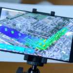
globalvision also carries out missions that are planned and controlled by GPS (in accordance with FOCA regulations) to ensure autonomy and perfect synchronisation of the flight and the surveys to be carried out. The entire flight can be parameterised to ensure that the mission complies in every respect with the technical specifications (height of shots, axes, azimuths, approaches to targets). The geo-referenced images can be viewed using GIS applications such as ESRI and ArcGIS.
Different Types of Aerial Images
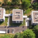
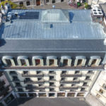
The images produced by globalvision drones are various and largely depend on the requirements for each project.
We offer aerial imaging service for the following:
- Programming of drone flights for surveillance and analysis
- Production of geo-referenced aerial images (position, altitude, azimut)
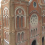
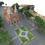
- Creation of photogrametric images and 3D pointclouds processing
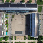
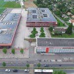
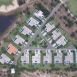
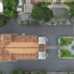
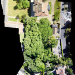
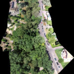
- Capture of aerial othophotos for viewing a scene with no distortion
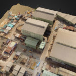
- Conversion in a 3D polygonal model and weave addition
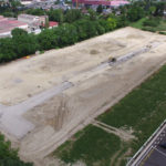
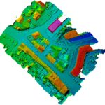
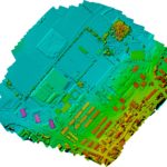
- DTM, DSM* and 3D display creation
*Digital Terrain Model, Digital Surface Model
The quality of the images we produce meets all your requirements. Our captures are invariably made in very high definition.
Professional Aerial Images for GIS Industry
The geo-referenced and photogrammetric aerial images are mostly used for:
- Developing real estate projects and civilian engineering
- Defining masterplan projects and land development
- Preparing public construction works and large infrastructures
- Inspecting industrial facilities
- Archive data about roads development and road maintenance
- Analysis capabilities for pipelines company in oil and gas industry
- Safety prevention for industrial and risk-prone facilities
- Mapping for defense and military purpose


